Zum andern, soll ain ieder waagmaister ain ordentliches waagbuch halten und alles, was ainem ieden durchs ganze jahr sowohl hiesigen als fremden ab- und zugewogen wird […] mit der kauff- unnd handlsleuten tauf- und zunahmen, item von wan sie seyn, fleissig darein schreiben, nit weniger auch das niderlaaggelt, damit demnach gemeine statt, dero gröster uncosten aufs pflaster gehet, auch widerum ein nuz und einkomen davon habe.
(Instruktion des Kremser Waagmeisters, 1656)
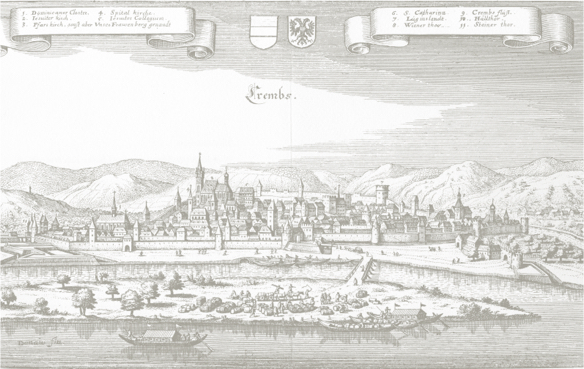
The first phase of the Danube River Trade project consisted of processing the information contained in the 28 volumes of the Krems Weighing and Warehouse Books preserved for the period ranging from 1621 and 1737. Located on the west-east trade route formed by the Danube, Krems—with its fairs around the feasts of St. James (June/July, known as “Jakobi”) and Simon and Jude (October/November)—was the most important emporium between Linz and Vienna. At the same time, the city was well-connected by road with Bohemia, Moravia, Silesia and the kingdom of Poland. The preserved account books of the weighmasters, who also oversaw the storage warehouses, allow for the reconstruction of trade relations within the large region reaching from Savoy and Switzerland to Hungary and from Poland to the Alps. The types and amounts of traded goods as well as the individuals, companies or institutions (manors, abbeys, etc.) involved in each transaction have been recorded. Using these data, which have been accessible online since 2013, we can establish a significantly clearer image than ever before of commercial activity in the Austrian lands along the Danube and its networks with neighbouring regions.


![Der Wagmeister: Christoph WEIGEL D. Ä., Abbildung der gemein-nützlichen Haupt-Stände […] (Regensburg 1698). krems2](https://donauhandel.univie.ac.at/wp-content/uploads/krems2.jpg)